
Weaving Namibia – Karakulia
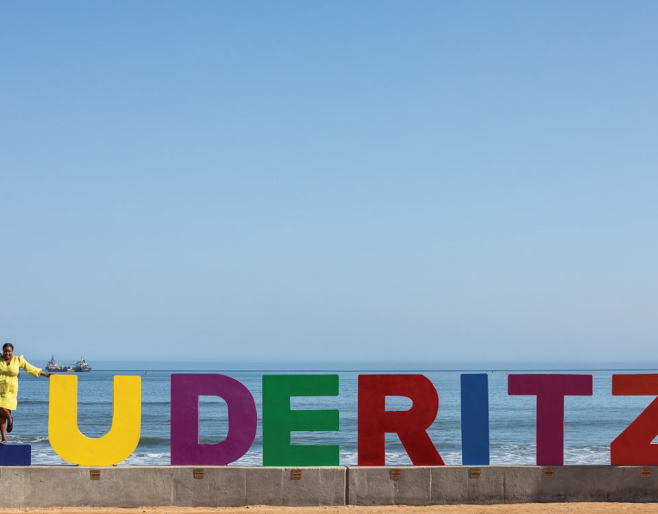
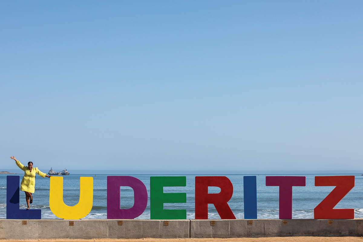
January 7, 2014Namibia’s Striking South – A Nam Fan explores
January 14, 2014This is the second in a series of articles which will focus on the wetland treasures of Namibia
MAIN PHOTO: Lagoon ©Paul van Schalkwyk
Text Edward Jenkins
Whales, dolphins and birds! Oh my…!
The Convention on Wetlands of International Importance (the Ramsar Convention) is an international treaty created in 1971 to support national action and international cooperation in the conservation and wise use of wetlands worldwide. To date 167 countries, including Namibia, have joined the convention, which has identified four Ramsar sites, with a fifth one currently undergoing evaluation. This site – the Walvis Bay Wetland – was designated in 1995.

Flamingos. ©Carmen Begley
Dorothy and her crew on the Yellow Brick Road may have faced a diversity of wildlife, but this next bright star in Namibia’s garland of Ramsar sites has it all… a lagoon with a paved three-kilometre walkway, sometimes described as ‘the best place in the world to view flamingos in their natural habitat’; a bay teeming with Heaviside’s and bottleneck dolphins, Cape fur seals, and the occasional whale; and an artificial saltpan, serving a buffet lunch for a myriad of bird species. And all this within shouting distance of Namibia’s primary seaport and second-largest city.
The earliest inhabitants of the area may have been Strandlopers – nomadic beachcombers believed to be direct ancestors of the Topnaar people – who still live in the area today. The first European to view the harbour was Portuguese navigator Bartholomeu Dias, who anchored here in 1487. Originally claimed by Dutch authorities from South Africa’s Cape Colony in 1793, Walvis Bay was annexed by the British in 1884, and remained under British and subsequently South African control until it was ceded to the Republic of Namibia in 1994.

Pelican. Photo ©Paul van Schalkwyk
The story of Walvis Bay’s biological diversity begins in the South Atlantic, near Lüderitz, where the upwelling of the cold Benguela Current generates a rich mixture of krill, zooplankton and phytoplankton that reaches the surface between Meob Bay and Walvis Bay, attracting fish, dolphins, whales, fur seals and seabirds in hundreds of thousands. It is this upwelling that makes the Benguela Current one of the most productive marine systems in the world.
Namibia’s ancient Namib Desert has also contributed to the creation of this unique paradise, while its ephemeral rivers, found throughout the country, play a key role in the distribution of water, channelling and retaining seasonal flood waters underground, their courses otherwise remaining dry, sometimes for decades.

Pelican Point, seal watching. Photo ©Paul van Schalkwyk
Over the millennia, prevailing south-west winds have created Namibia’s sand sea, which includes the dune belt between Swakopmund and Walvis Bay. This sand belt, running south from Swakopmund, has permanently blocked some channels of the ephemeral Kuiseb River, creating the Walvis Bay Lagoon, which is entirely tidal. The result is a large area of low-tide mudflats, ideal habitat for many wetland species, particularly for lesser and greater flamingos.
The Walvis Bay salt works utilises a solar evaporation pan. Sea water is drawn in and allowed to evaporate, leaving behind a rich soup of plankton, brine shrimp and small fish, which supports thousands of local and migratory birds from Europe and Asia. The rosy pink colour of flamingos is the result of the brine shrimp in their diet, which is rich in beta carotene.

Pelican Point flamingos. Photo ©Carmen Begley
The Pelican Point Peninsula serves to protect the harbour and lagoon from the full fury of the South Atlantic, making Walvis Bay the most protected natural harbour in Namibia.
This ‘perfect storm’ of conditions and circumstances has created a birder’s paradise that sustains an estimated 250 000 birds in spring and summer, with some 90% of summer birds consisting of non-breeding migrants from Europe and Asia. Intra-African migrants generally breed elsewhere, but travel to the Walvis Bay Lagoon for feeding. An estimated 50 000 greater and lesser flamingos may be present, particularly in years when the natural saltpans in the Etosha National Park do not receive sufficient flood waters from Angola for the flamingos to breed there. Resident wetland birds, such as pelicans and Damara terns, may be found here throughout the year.

Walvis Bay lagoon www.tala.com.na
In winter as many as 70 000 to 100 000 birds representing some 40 to 50 species call this area home. It’s therefore small wonder that the Walvis Bay Ramsar Site is considered among the top three coastal wetlands in Africa.
The participation by the Government of Namibia in the Ramsar Convention shows its commitment to the protection of sensitive wetlands. Challenges lie ahead for the nation, and particularly for the Municipality of Walvis Bay, as a growing economy and expanding population conflict with demands for preservation of this unique resource. But with the help of all stakeholders, both inside Namibia and internationally, this natural treasure will remain intact for future generations to use and enjoy.
RAMSAR SITES IN NAMIBIA
Namibia currently hosts four designated Wetlands of International Importance as prescribed by the Ramsar Convention. They are:
- Etosha Pan, Lake Oponono and the Cuvelai drainage system (central northern Namibia)
- Sandwich Harbour (Atlantic coast, approximately 55 km south of Walvis Bay)
- Walvis Bay Lagoon (Atlantic coast, immediately south of the Municipality of Walvis Bay)
- Orange River Mouth (Namibia/South Africa border, on the Atlantic coast)
A fifth site, the Lower Okavango River/Mahango Section of the Bwabwata National Park, located in the Caprivi Strip in far north-eastern Namibia, has been proposed for inclusion on the list by the Namibian Ministry of Environment and Tourism, based on the large diversity of bird species and vegetation found in the area.
WETLAND CATEGORIES
Generally, wetlands are areas where water is the primary factor controlling the environment and associated plant and animal life. They occur where the water table is at or near the surface of the land, or where the land is covered by water.
Five major wetland types are generally recognised:
- marine (coastal wetlands including coastal lagoons, rocky shores, and coral reefs)
- estuarine (including deltas, tidal marshes, and mangrove swamps)
- lacustrine (wetlands associated with lakes)
- riverine (wetlands along rivers and streams)
- palustrine (meaning ‘marshy’– marshes, swamps and bogs)
The Ramsar Convention, recognising man’s influence on the environment, has simplified wetland definitions into three categories:
- Marine and Coastal Wetlands
- Inland Wetlands
- Man-made Wetlands, such as fish and shrimp ponds, farm ponds, irrigated agricultural land, saltpans, reservoirs, gravel pits, sewage farms and canals.
TNN Summer 2013/14